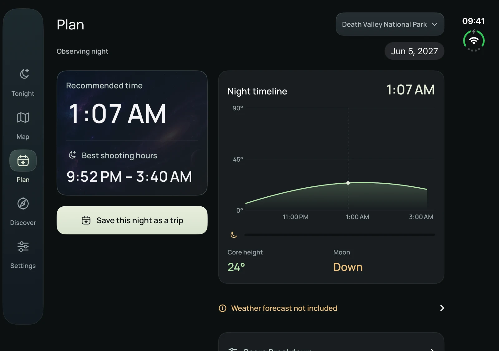
Light pollution map.
About NoctisExplore 2025 satellite light data. Zoom in to see the light around towns and darker places beyond them.
Light pollution readings appear here.
Check the Moon & Milky Way in NoctisHatched areas: no data
Map loads when you reach this section.
Coordinates and data information
NASA Black Marble VNP46A4, 2025 annual composite. 58 regional datasets. The overview uses 2 arc-minute averages; zooming in reveals original 15 arc-second cells (about 460 m north–south). Detailed readings show the radiance range of each cell’s estimated class, rather than an averaged point value. Bortle classes are Noctis estimates from upward radiance, not ground measurements or a live forecast. Regional coverage is not worldwide. The map is for comparing sky conditions, not road navigation.
NASA data source · How to read the map Noctis
Found a dark sky?
Plan the whole night.
Go further with Noctis. Check the Moon, find the best time to see the Milky Way and discover destinations for your next stargazing trip.
Get Noctis for iPhone